arusha-central
|
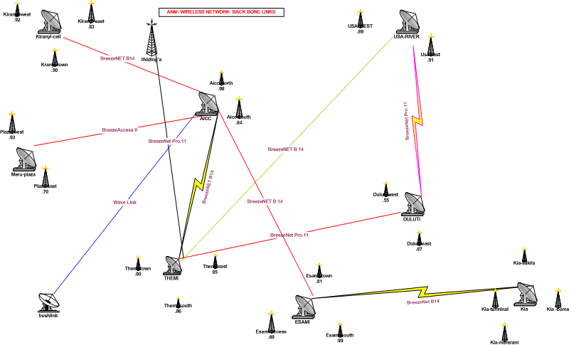
Arushanzima.gif
|
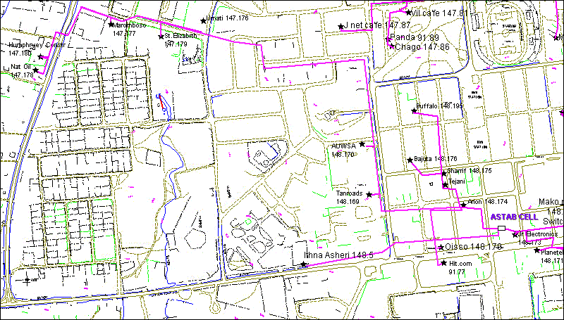
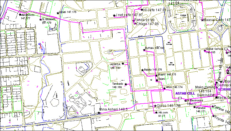
Astab Cell.gif
|
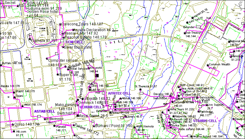
Astab Cell2.gif
|
CCM CELL.jpg
|
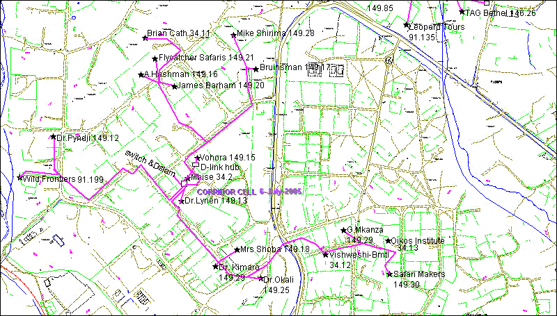
Corridor Cell.gif
|

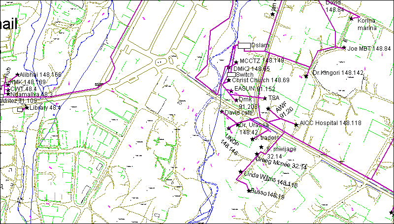
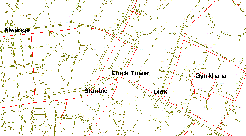
Dmk and Afritex maps.gif
|
Dmk2 and Afritex maps.gif
|
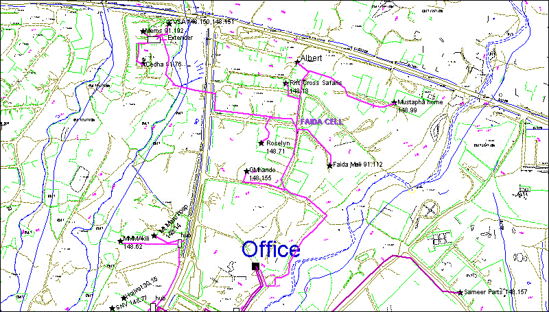
Faida Cell.gif
|
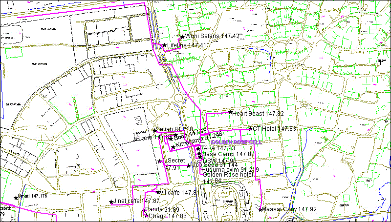
Golden Rose cell.gif
|
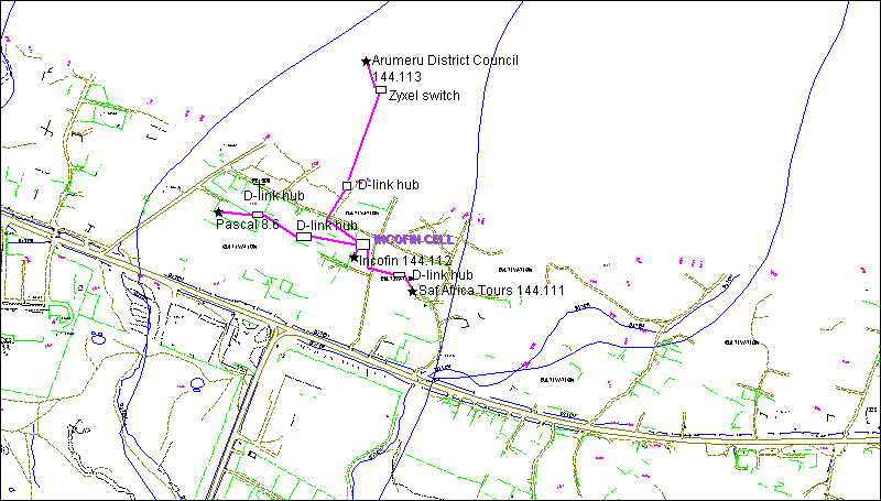
Incofin Cell.gif
|
kigenge.gif
|
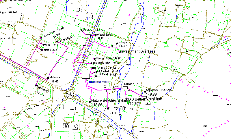
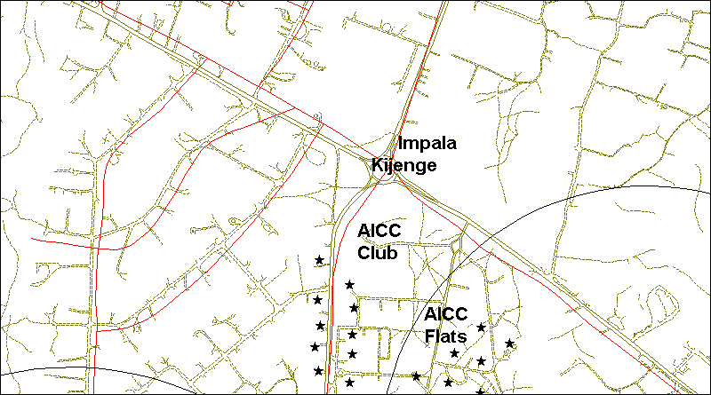
kijenge cell.gif
|
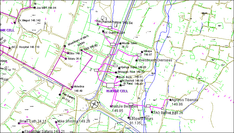
Kijenge2Cell.gif
|
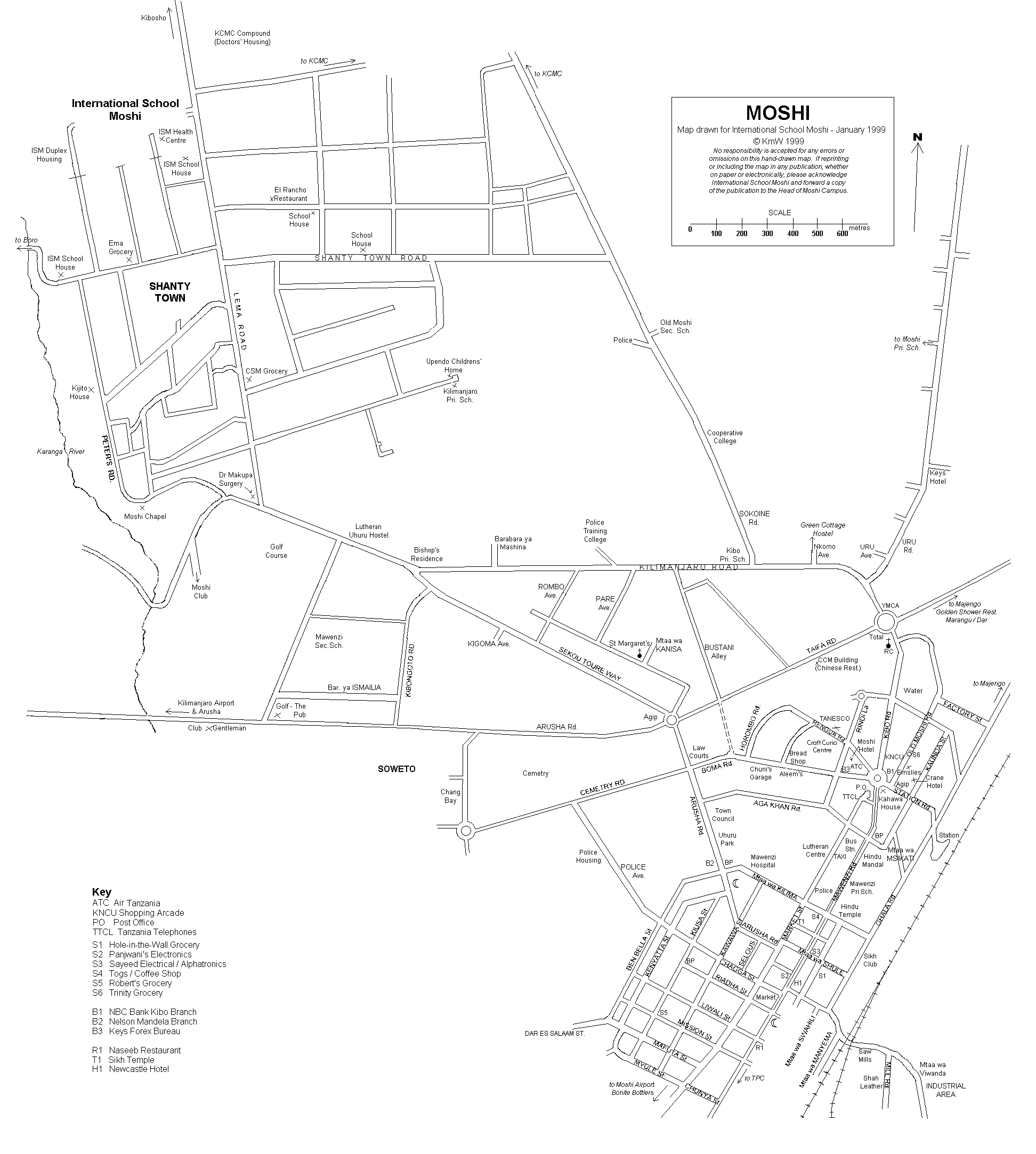
MapMoshi.gif
|
Ngarenaro.gif
|
njiro.gif
|
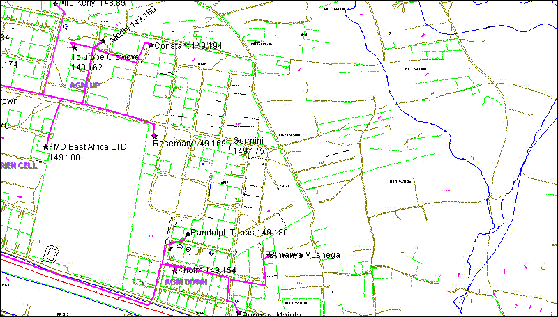
PPF olorien UP&DOWN.gif
|
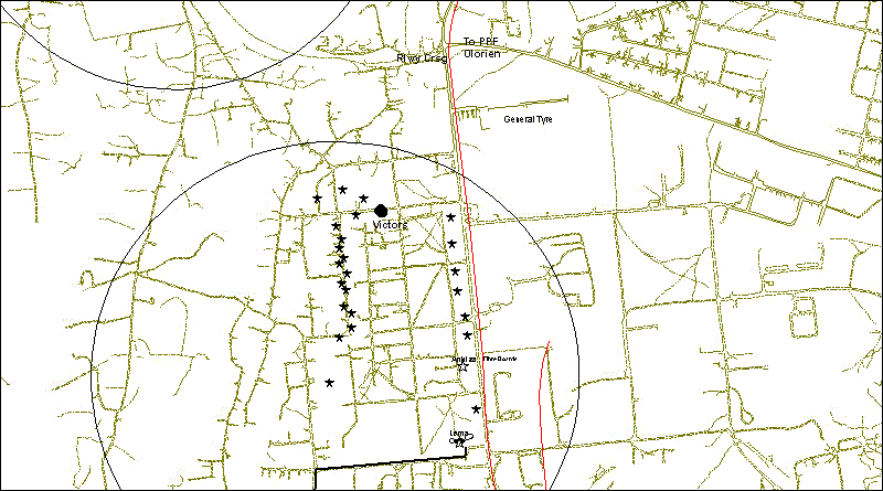
PPF olorien.gif
|
Sekei.gif
|
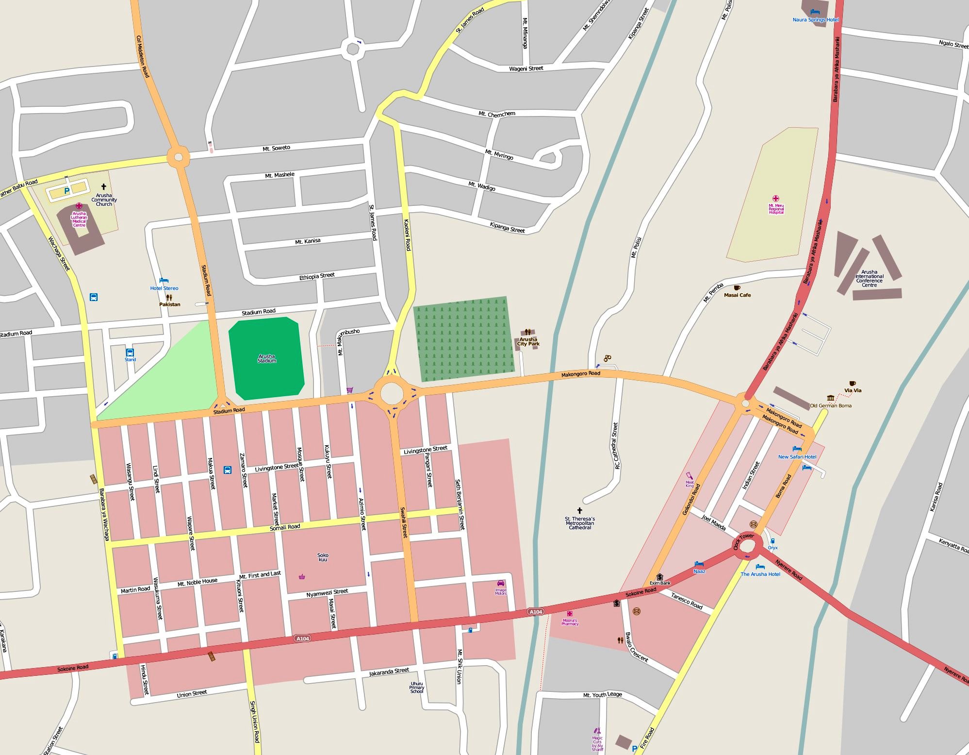
towncentral.gif
|
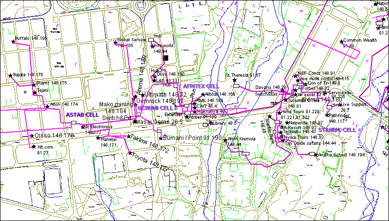
Uchumi cell&Afritex Cell.gif
|
Unga Ltd.gif
|
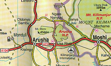
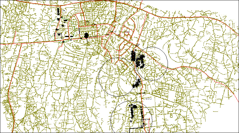
arushamoshi.gif
|